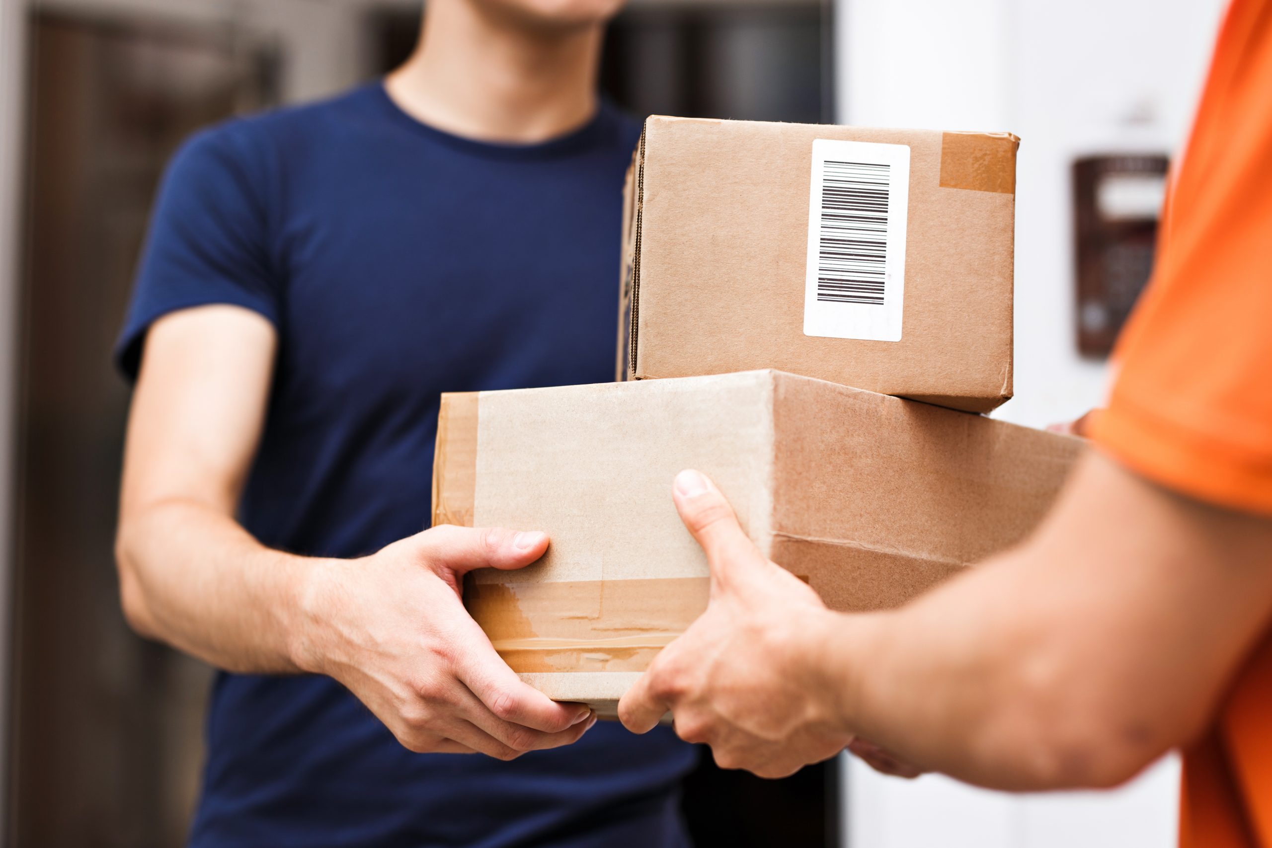
A 2022 report from Accenture estimates that the streets of London will carry 1.5 times more delivery vehicles by 2026 than today if the ecommerce led door-to-door delivery model continues to boom (which I think it will). Road congestion!!! Parking problems!!! Last mile delivery will become even more challenging, especially for the software that plans the delivery routes.
For route optimisation software the need to incorporate historic traffic flows in the route planning is essential to avoid those pinch points on the street network and ensure that delivery time windows are met. In terms of route execution, it’s also vital to have up-to-date live traffic information available to the dispatch team and/or drivers so they can deviate or replan on-the-fly to avoid delays.
As Last Mile delivery companies start to introduce more localised hubs and more collection lockers, as well as an electric vehicle fleet with mixed capacities (cycles to e-bikes to scooters to vans to drones), route optimisation software has to cope with regular fleet changes sometimes hourly let alone daily.
Where to park in a congested street and how far away from the delivery point that is in a vehicle restricted area? An accurate street network that contains certain parameters – road length, access restrictions, direction of travel information, parking restrictions – enables route planning software to optimally plan routes that include a “mixed mode” aspect to delivery, i.e. park and walk. In the UK, data form the Ordnance Survey contains much of the information required. Outside of the UK, data from HERE Technologies can provide similar vital information.
Combining traffic data with the street network data in a GIS application like ArcGIS Pro from Esri enables route optimisation solutions to produce the most optimal routes possible. But it is still challenging!
Rural last-mile delivery is a significant cost challenge for companies as more energy (electric charge or fossil fuel) may be required over the longer distances. Route planning software must be able to manage equally both the rural and urban delivery challenge.
One of the key themes at this years’ ParcelPostExpo was sustainability. Being able to take account for CO2 output from the delivery fleet is another consideration for Final Mile route optimisation solutions.
The future of last-mile delivery, by Danny Hudson, Director at FarEye for UK/Europe.