The Geospatial Commission was established in 2018 by the government as an independent, expert committee responsible for setting the UK’s geospatial strategy and coordinating public sector geospatial activity. Their aim is to unlock the significant economic, social and environmental opportunities offered by location data and boost the UK’s global geospatial expertise.
Geospatial data, which refers to data that is related to a specific location or geographic area, provides a wide range of benefits to UK local government. Some of these include:
- Planning and Development: Local government can use geospatial data to inform their decision-making on land use planning and development. By analysing data on population, infrastructure, and natural resources, they determine the most effective and efficient use of land and resources.
- Emergency Management: Geospatial data enables local government to plan for and respond to emergency situations such as floods, fires, and other natural disasters. By mapping out potential risks and vulnerabilities, they create plans and allocate resources to respond quickly and effectively to emergencies.
- Transportation and Infrastructure: Geospatial data is used to improve transportation and infrastructure planning. By analysing traffic patterns, road conditions, and other factors, local government make informed decisions on where to invest in infrastructure projects and how to improve transportation services.
- Environmental Management: Geospatial data ensures that local government monitors and manages environmental resources effectively, identifying potential environmental risks and take actions to mitigate them.
- Service Delivery: Local government also uses geospatial data to improve service delivery to citizens. By mapping out areas of high demand for public services such as healthcare, education, and social services, they can ensure that resources are allocated efficiently and effectively.

Within waste & recycling management specifically, geospatial data has a significant role to play by providing valuable information that empowers local government to optimise their operations, reduce costs, and improve environmental sustainability. This is achieved in a number of ways including:
- Collection route optimisation: Geospatial data is used to optimise waste collection routes, ensuring that vehicles travel the most efficient routes and collect waste from the most populated areas. This can help reduce fuel consumption and associated greenhouse gas emissions, as well as save time and costs.
- Bin placement and management: By using geospatial data to analyse population density and demographic information, waste management companies can determine the most appropriate locations for waste bins and recycling facilities. This can help reduce overflow and littering, as well as increase recycling rates.
- Illegal dumping prevention: Geospatial data is used to identify areas where illegal dumping is more likely to occur, allowing local authorities to target their enforcement efforts and prevent illegal dumping.
- Landfill site selection and management: Geospatial data is always used to enable planning and waste departments to identify suitable locations for landfill sites based on factors such as proximity to population centres, environmental sensitivity, and vehicle accessibility based on the road network. Once a site has been selected, geospatial data can also be used to monitor the site and identify potential environmental risks.
- Recycling and waste reduction campaigns: Some, but perhaps not enough, local authorities use geospatial date to identify areas with lower recycling rates and to target outreach and education campaigns to those areas. This helps increase awareness and participation in recycling programs, as well as reduce waste generation. Often the geospatial data is combined with the results from Waste Composition Analysis which is a service provided by ISL. WCA can have a number of objectives including
- Understanding the waste stream; which services are contaminated and with what types of waste e.g. recyclable packaging within residual collections
- Designing recycling schemes by investigating the quantity of recyclable materials that are being disposed of through the different streams – recycling, residual, garden & food as well as understanding the quantity of vehicles and operatives required
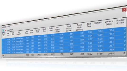
The importance of geospatial data to municipal waste & recycling operations means that waste management software now has to be based on a GIS (Geographic Information System) platform so that local authorities can access the data. The deployment of such software enables local authorities to quickly react to incidents that have a geospatial component, such as, logging and actioning a missed bin report or a fly-tip.
It is evident that geospatial data has a significant impact on waste & recycling management by providing valuable information that helps UK local authorities make operations effective and efficient through improved customer service, costs minimisation, and improved environmental sustainability. As more and more data is collected the geospatial element will become ever more impactful.