The UK’s need for new housing is creating significant change for towns, cities and communities. In England, the Government has set an ambition to deliver 1.5 million new homes during this Parliament, supported by planning reform and investment in the infrastructure needed to unlock housing development.
For local authorities, every new home represents a new demand on frontline services. New properties need residual waste, recycling and food waste collections. Depending on the authority, residents may also require garden waste, bulky waste and other services. As developments grow, the impact extends to vehicles, crews, depots, disposal points and, importantly, existing collection rounds.
The challenge for waste and recycling teams is therefore not simply how to collect from new homes once residents move in, but how to plan ahead and understand what growing communities will mean for the collection network in the future.
How Housing Growth Affects Existing Collection Rounds
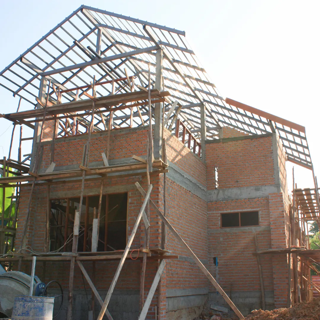
New housing developments rarely appear neatly within existing collection patterns. An initial phase of 50 properties might be relatively straightforward to incorporate into an established round, but those 50 properties may quickly become 200, 500 or considerably more. Developments often expand over several years, with new roads and phases opening as construction progresses.
Each addition increases the number of collection points and the volume of material that needs to be collected. It can also increase round duration, mileage and vehicle capacity requirements. A crew may be able to absorb a small number of additional properties without difficulty, but as further phases are completed, the round can become unbalanced.
Eventually, an authority may find that a round regularly finishes later than neighbouring rounds, vehicles are approaching capacity, additional journeys are required or crews are travelling inefficiently between areas. At this point, simply continuing to add new properties to the nearest existing round may no longer be the most effective option.

It’s Not Just About the Number of Homes
Understanding the impact of housing growth requires more than counting properties. The geography and design of a development can significantly influence how efficiently it can be serviced.
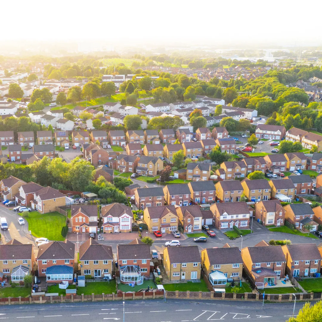
A development of 500 detached and semi-detached homes presents a very different routing challenge from 500 apartments served through communal bin stores. Housing density, road layout, bin presentation points and distance between properties can all affect collection times.
Vehicle access is another important consideration. Narrow streets, cul-de-sacs, parking, turning restrictions and other road constraints can determine which vehicles can safely and practically service an area.
These factors reinforce the importance of geospatial data when planning services for new communities. Ordnance Survey has highlighted the role of accurate location data in planning housing development – including understanding existing road networks, nearby infrastructure and how new developments fit within the surrounding environment.
For waste teams, combining this geographic understanding with operational information provides a much clearer picture of what a development is likely to mean in practice.
Connecting Planning and Operational Teams
Much of the information needed to plan for housing growth may already exist within the local authority. The challenge is to make sure it reaches the right people.
Planning departments can have visibility of major developments years before homes are occupied. They may know the proposed number and type of properties, site boundaries, road layouts, development phases and expected timescales. Waste and recycling teams, meanwhile, understand existing rounds, vehicle capacities, depot arrangements and the practical realities of delivering collections. If these teams work separately, there is a risk of delay to operational planning.
Effective communication between planning, waste, highways, GIS (Geographic Information Systems) and other relevant council departments can help authorities anticipate future service demand much earlier.
For example, knowing that a development will eventually contain 2,000 homes is useful. Knowing that the first 300 are expected to be occupied next year, another 500 the following year and that later phases will extend into a different part of the road network is far more useful when planning collection services.
Technology can help provide the common operational picture needed to support this collaboration. SmartSuite is designed to provide a single source of truth for environmental services, bringing operational information together rather than leaving it fragmented across separate systems and spreadsheets. It can also integrate with wider council systems through APIs.
By combining accurate property information with current operational data, councils can develop a clearer understanding of both the services being delivered today and the demand that is coming tomorrow.
Forecasting Future Waste and Recycling Demand
Knowing where new homes will be built creates an opportunity to forecast their impact. Additional properties mean more than additional collection points. Authorities need to consider how growth could affect waste and recycling volumes, vehicle capacity, crew requirements, round duration and travelling time. There may also be wider implications for depot and disposal arrangements.
For example, if a growing round repeatedly reaches vehicle capacity before completion, an additional trip to a disposal or transfer point could have a significant impact on the working day. Multiply that across several growing developments and the operational effect becomes much larger. Forecasting allows councils to ask these questions before the pressure appears.
Housing type can also be relevant. High-density developments with communal collections may require different operational assumptions than lower-density developments with individual bins.
The aim is not to predict every future collection with absolute precision, but to use the best available information to understand likely demand and identify when additional resources or wider service changes may be needed.
Modelling Growth with RouteSmart
Once an authority understands where growth is expected, route modelling can help translate that information into operational plans. RouteSmart allows local authorities to model different routing scenarios using geographic and operational data. This includes what-if modelling for service changes, fleet configurations and growth planning.
Instead of waiting for a development to reach full occupation and then discovering that existing rounds are struggling, authorities can test potential future scenarios. For example:
- What happens when the first 500 properties are added?
- What about when the development reaches 1,000 or 2,000 homes?
- Would it be better to divide the new properties between existing rounds?
- Could several surrounding rounds be rebalanced?
- At what stage might an additional vehicle or crew become necessary?
Modelling can also consider changes to service frequencies, operational territories and fleet configurations. Importantly, the most efficient answer may not be to create a separate round for a new housing development.
Collection rounds often evolve over many years. Housing growth provides an opportunity to look at the wider network and ask whether properties could be redistributed to create better-balanced workloads across several rounds. RouteSmart combines advanced routing algorithms with GIS and location data to support this strategic planning, allowing councils to compare options before making operational changes.
Planning for Growth Rather Than Reacting to It
One advantage of housing growth is that, unlike many operational pressures, it can often be seen coming. Large developments may take years to complete, and properties are commonly released in phases, creating a changing pattern of demand over time. This gives local authorities an opportunity to develop a phased collection strategy alongside the development itself.
A collection model that works when the first 200 homes are occupied may not be appropriate when there are 1,000. Equally, creating a new round too early could leave a vehicle and crew significantly underutilised. Scenario modelling can help identify these tipping points.
Rather than repeatedly asking, “Where can we fit the next group of properties?”, authorities can take a longer-term view: “What should our collection network look like when this community is fully developed?”
That shift in thinking can help avoid a series of short-term adjustments that eventually result in inefficient or poorly balanced rounds.
Housing Growth in Practice
While new development is rarely the only reason for undertaking a route optimisation exercise, it can be an important trigger. As properties are added and communities expand, routes that were originally designed around a different number and distribution of households may no longer provide the best balance of workloads, resources and travel.
Reviewing routes as part of wider growth planning gives councils an opportunity to consider these pressures before they become embedded in day-to-day operations. Reading Borough Council, North Yorkshire Council and Wiltshire Council have all worked with Integrated Skills’ consultancy team, utilising RouteSmart Optimize to create new routes. Housing growth formed a part of the operational case for reviewing existing arrangements.
From Housing Forecasts to Operational Plans
Authorities need to understand what their existing operation looks like, how well current rounds are performing and how different growth scenarios could affect resources. Integrated Skills’ Professional Services team can support councils in assessing existing collection rounds and translating housing forecasts into practical operational plans.
GIS and location analysis can help identify where development will take place and how it relates to the existing network. Route optimisation can then assess different collection arrangements, while scenario modelling allows authorities to compare future options. This could include examining when rounds should be rebalanced, whether additional vehicles will be required or how different collection frequencies would affect resources.
The result is a stronger evidence base for decisions about future fleet, crews, rounds and service structures. This can also help waste teams make the case for resources internally. Rather than waiting until additional demand creates overtime, capacity issues or service pressures, officers can demonstrate when and why additional resources are likely to be required.
Building Services Around Future Communities
The Government’s housing ambitions mean that growth will remain an important consideration for local authorities. Its National Housing Delivery Fund alone provides £5 billion in capital grant funding for infrastructure and land between 2026 and 2030 as part of the wider ambition to deliver 1.5 million new homes.
Waste and recycling infrastructure needs to form part of the conversation, and housing development should therefore be considered an operational planning issue long before the first bins appear outside new properties.
Planning teams know where communities are growing. Waste teams know how collections operate. GIS can show how new developments fit within the existing network, while SmartSuite can help provide a consistent operational picture and RouteSmart can model how services may need to change.
Bringing those elements together gives authorities the opportunity to move from reactive route changes towards long-term service planning. Because the question isn’t simply how to collect waste from the next 100 homes, it’s how to design an efficient and resilient collection service for the community that will eventually be there.